Empowering Indigenous Communities: Winyama's Transformative Mapping Workshop at Barrapunta
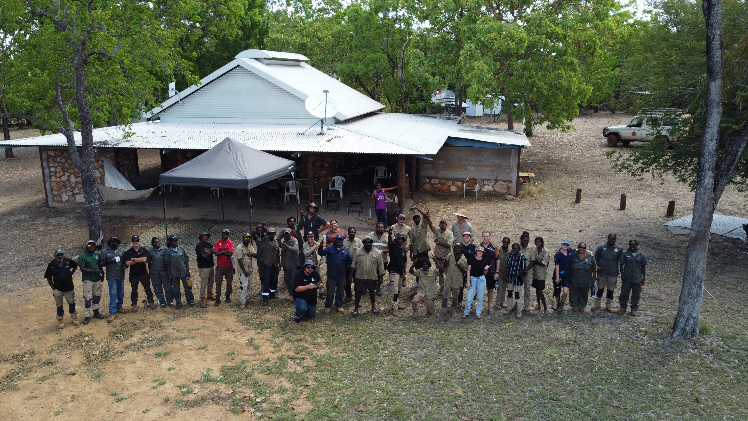
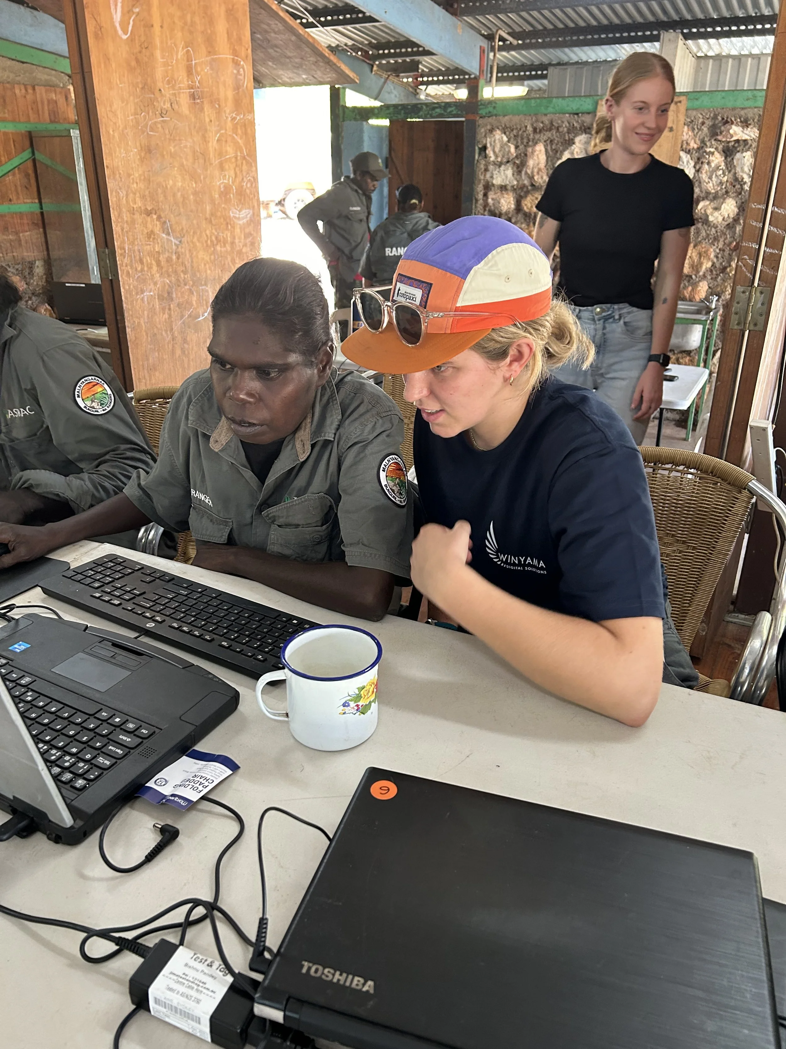
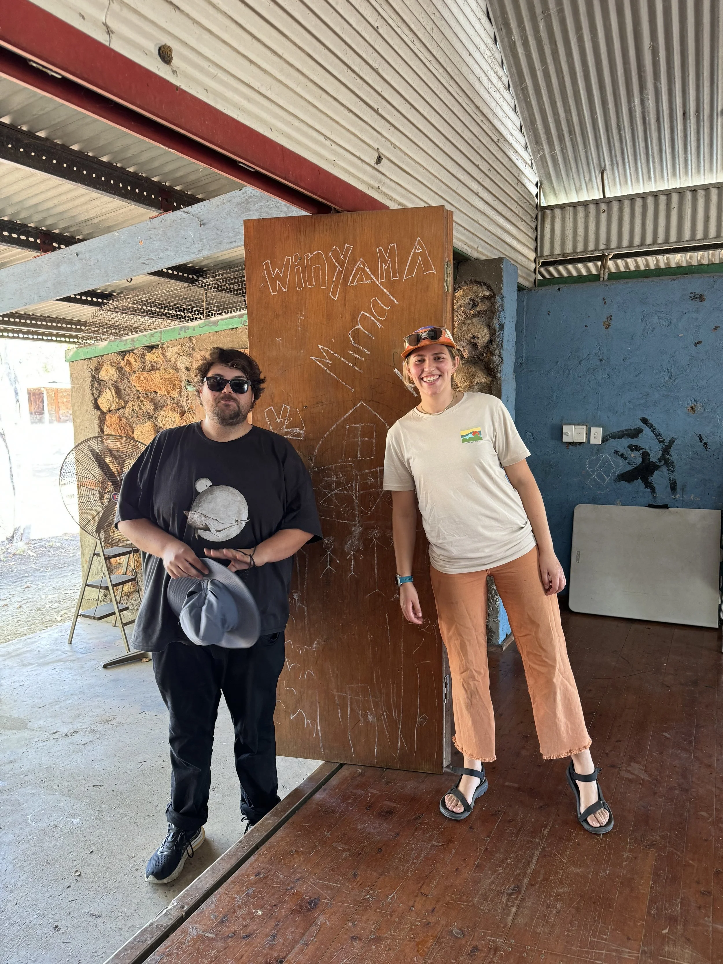
From September 30th to October 4th, Winyama team members, Joel D’Antoine, Grady Toomath, and Kass Boladeras, met with Nina Westenraad in Darwin before heading to Barrapunta (Emu Spring) in the Northern Territory. The workshop brought together 40 rangers from Jawoyn, Mimal, Djelk, ASRAC, and Warddeken to engage in fundamental QGIS.
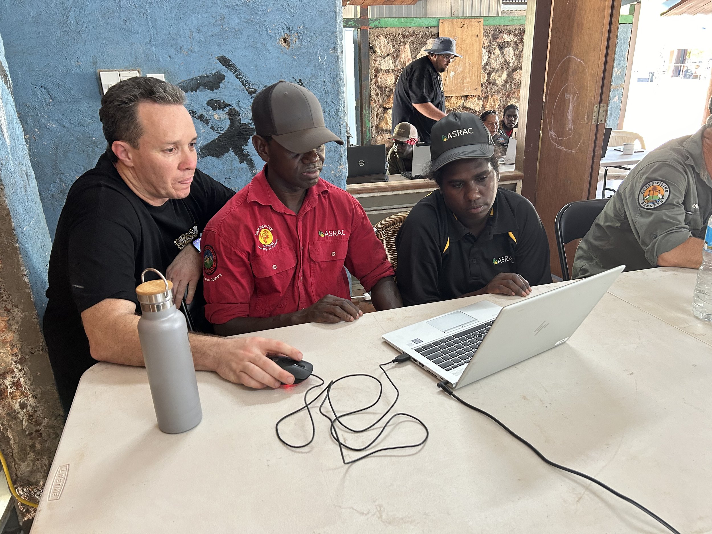
Winyama's mission is to empower Indigenous communities by giving them control over how their land and cultural information are represented. The training that was conducted throughout the week was to equip the rangers with skills to navigate mapping software and create maps for their fieldwork, particularly concerning land management and managing feral and introduced species. The training also focused on a range of topics, one of those being fostering community engagement through the creation of informative maps.
Despite high temperatures, the rangers were eager and engaged, absorbing every lesson. The workshop allowed rangers to dive deeper into mapping technology, embodying Winyama's vision of empowering Indigenous communities. Grady Toomath, IT Consultant recalled moments in the workshop saying “The enthusiasm displayed by the rangers while developing their maps was remarkable. They quickly created points, polygons, and lines in geopackage formats, marking areas they wished to protect”. This newfound understanding of their land’s geography strengthens their relationship with Country.
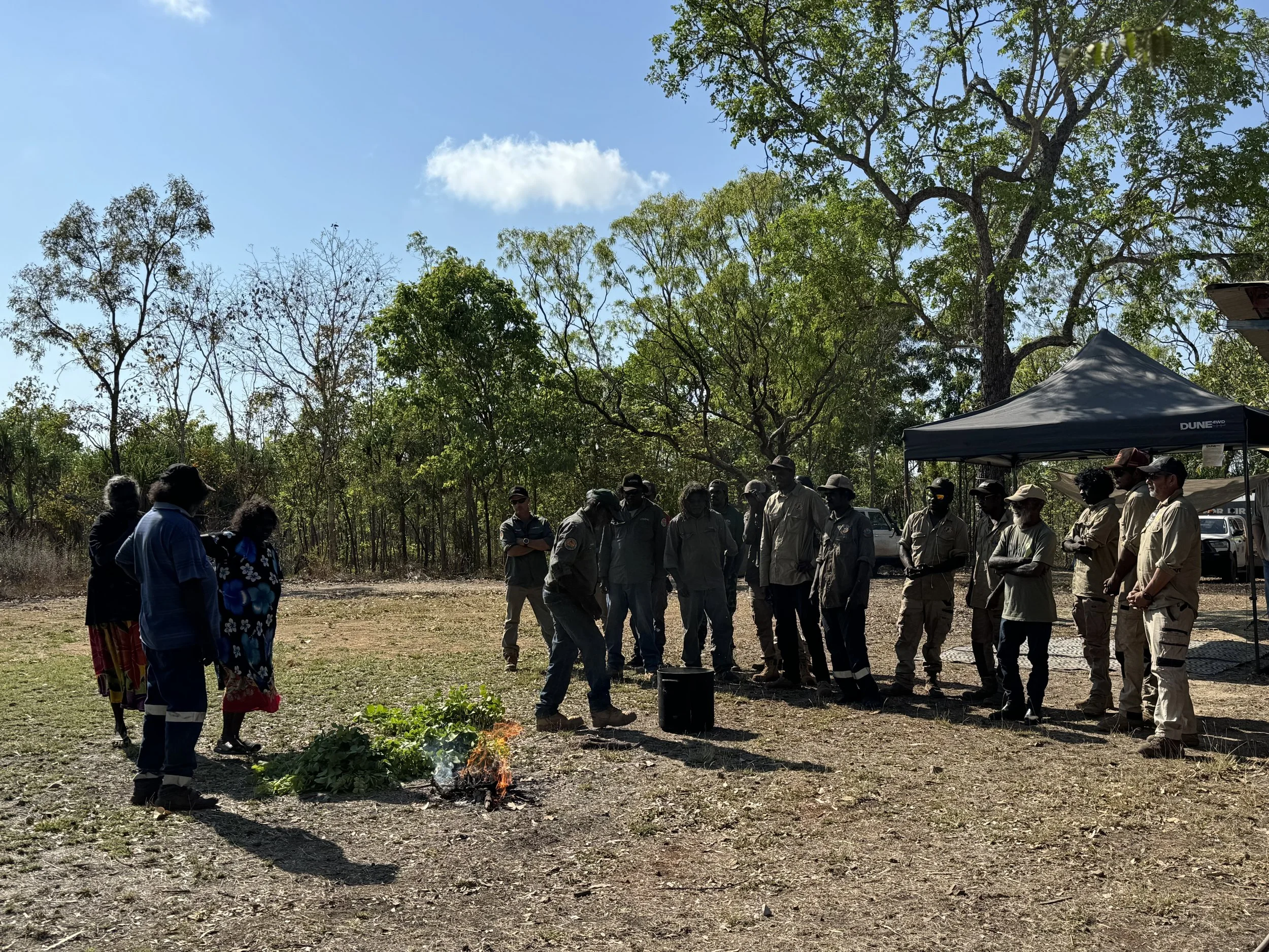
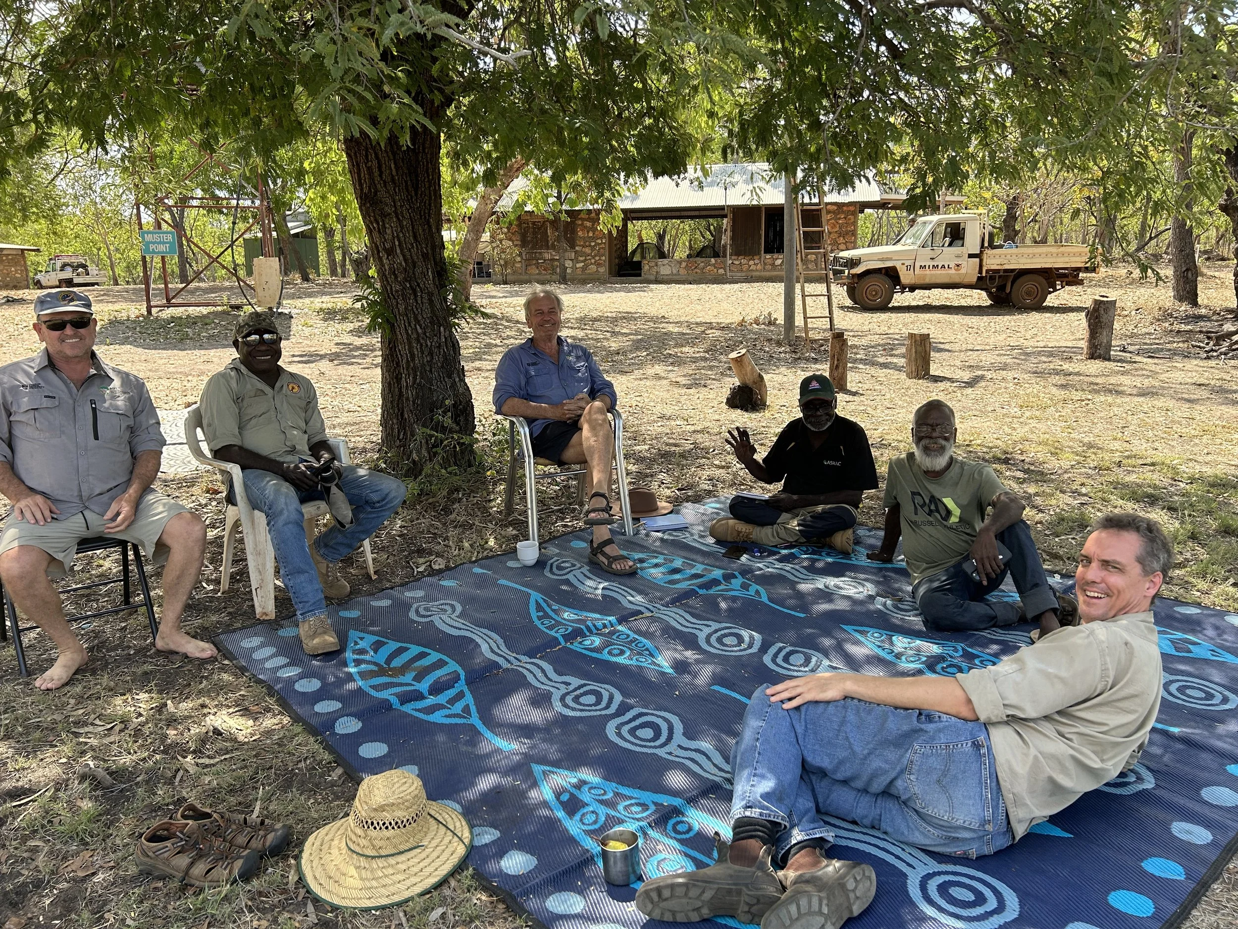
Being welcomed onto Country, Barrapunta was a special experience, allowing the Winyama team to witness firsthand the rangers' dedication to maintaining their beautiful land and their strong relationship with it. It was inspiring to help them gain skills they could immediately apply to conservation efforts.
It has been a really special experience to be welcomed on to Country in Barrapunta and to have been a part of the learnings of these rangers. The Country is beautiful and you can tell that the rangers have all worked incredibly hard to maintain it and that their relationship to the Country is strong. Being a part of a process to help them learn more skills they are instantly putting to work to help maintain Country is something I won't ever forget. - Grady Toomath, IT Consultant Winyama
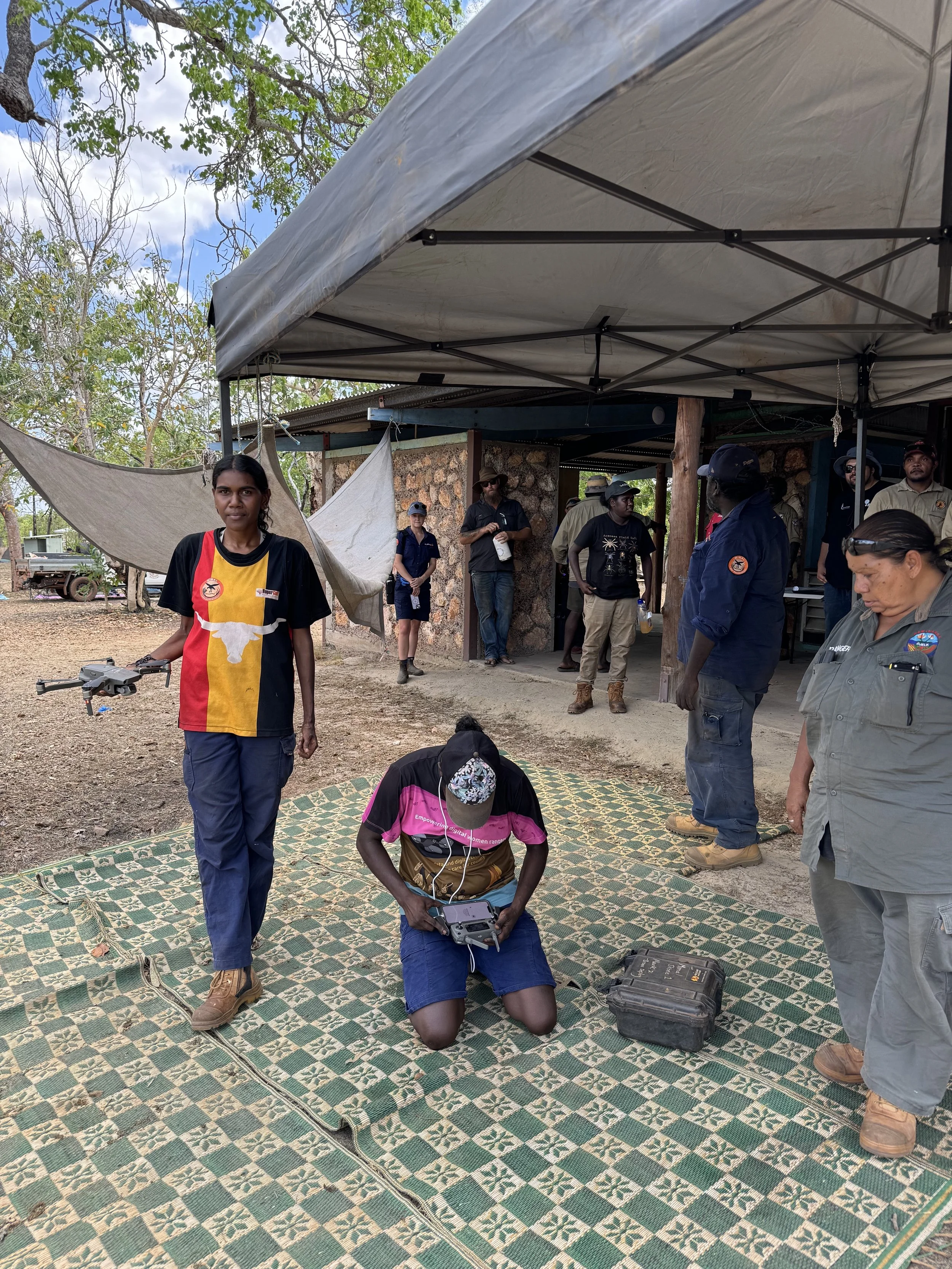
Additionally, the workshop facilitated networking among rangers and coordinators, introducing advanced mapping skills, including a session on drones. These tools can enhance data collection for mapping and support activities like feral animal management, waterhole monitoring, fire spotting, and reconnaissance for firebreaks.
The enthusiasm for knowledge and progress was incredible. It’s exciting to witness the growth in understanding of mapping and technology each year, and this year's advancements were particularly remarkable. I’m already looking forward to next year's National event! - Joel D’Antoine, Stream and Project Lead - GIS Specialisation
By the end of the workshop, the rangers left buzzing with excitement and a thirst for more knowledge. The training was a resounding success, and we eagerly anticipate hearing how the rangers will utilise their new skills to further empower their communities and manage their lands effectively
If you are interested in hosting a regiona IMW Australia, we are eager to hear from you! Don’t hesitate to get in touch with us here.

